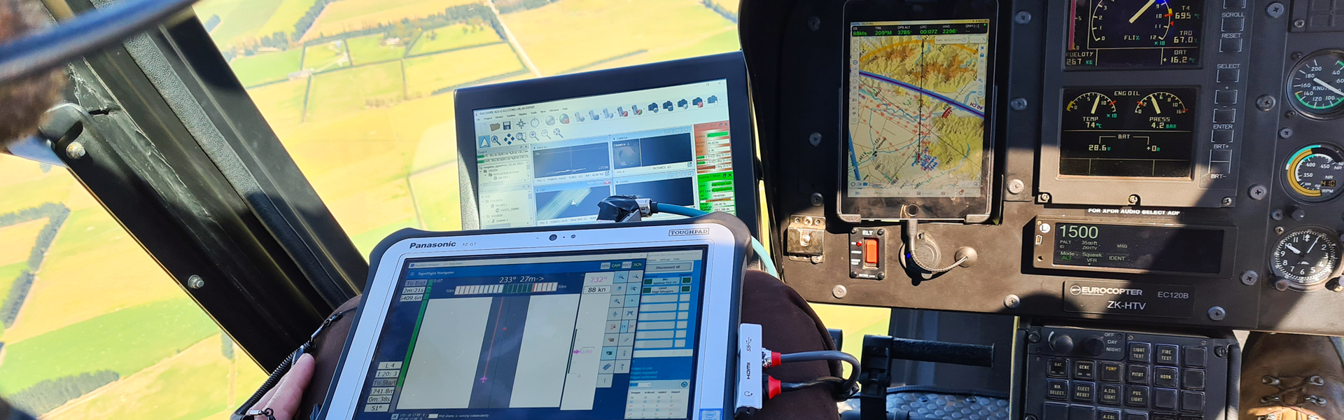
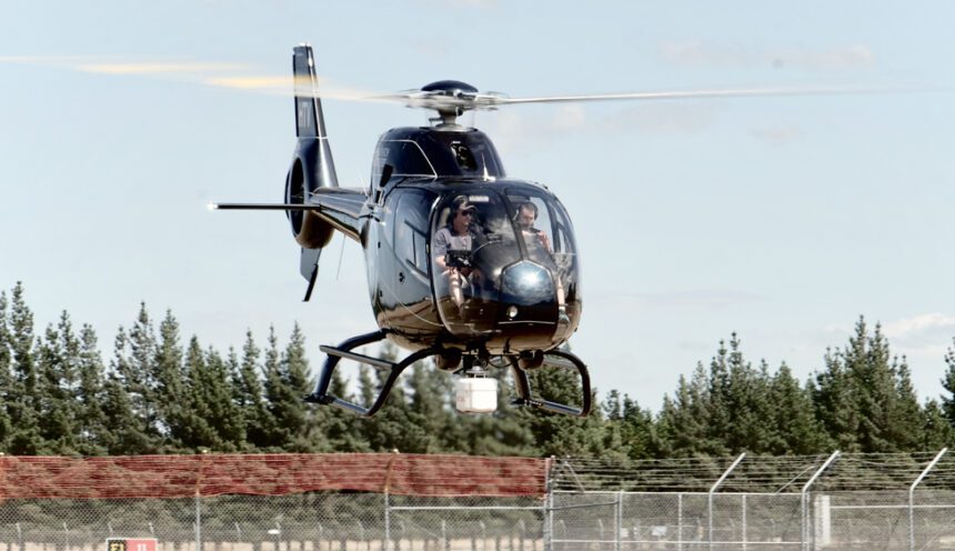
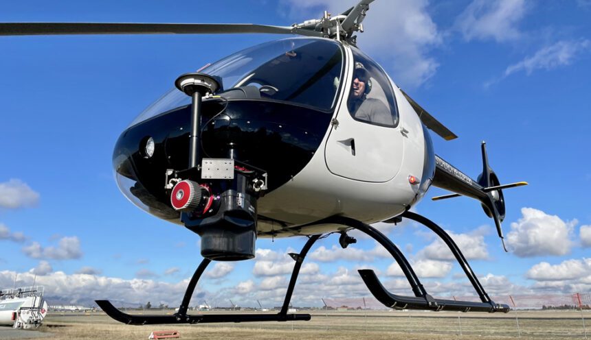
Vadis is a New Zealand based company specialising in the capture, processing, and analysis of LiDAR and photogrammetric data.
A strategic partnership between Christchurch Helicopters and The University of Canterbury, Vadis represents an expert team of geospatial professionals, land surveyors, landscape geomorphologists, and hydrographic modellers.
We measure, visualise, interpret, understand, and communicate changes in our physical environment at dense spatial and temporal resolutions allowing you to make better informed decisions.
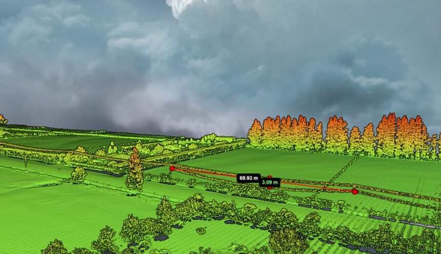
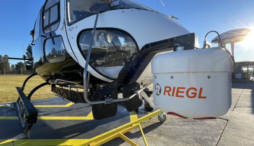
Light detection and ranging (LIDAR) over recent years has become widely accepted as an input tool for generating extremely accurate terrain, vegetation and infrastructure models to be used in a variety of Geographic Information Systems (GIS) and management applications:
- Mapping and monitoring erosion prone areas – coastines, hill country, waterways.
- Forestry management – yield, harvest, planting
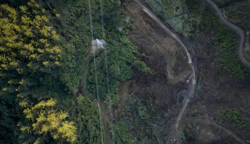
- Infrastructure mapping – Power distribution networks, construction, road, rail.
- Biodiversity – Habitat structure, composition and change
- Disaster management – Flood, earthquake